FIELD-EYE Overview
Precision Mapping. Clear Insights. One Powerful Tool.
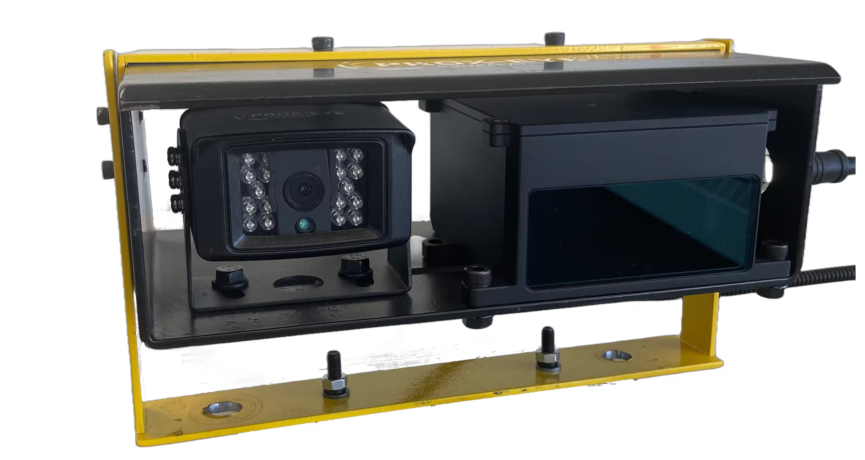
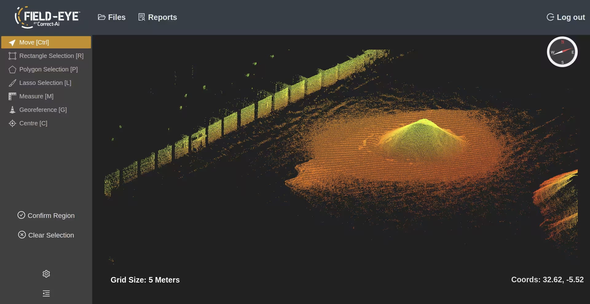
FIELD-EYE™ by Correct-AI is our advanced mapping solution, built into the LiDAR proximity sensor. It delivers 3D scene reconstructions, georeferenced map overlays, and accurate volumetric measurements—all accessible through an intuitive web app. Explore, measure, and visualize your environment with unmatched precision.Curious to see it in action? Check out the interactive web app below.
Key Features and Benefits
Accurate, Error-Free Visualization
Capture a precise 3D view of your worksite, minimizing the risk of human error in planning and measurement.
Fast Setup, Intuitive Use
Get up and running quickly with a web app designed for simplicity and ease of navigation.
Effortless Volume Calculations
Click, drag, and instantly assess object volumes without complex tools or processes.
Rapid Model Updates
Build and refresh models quickly, enabling real-time monitoring and swift decision-making.
Future-Ready Scalability
A flexible platform designed to grow with your needs and integrate with automated workflows.
Improved Safety & Lower Costs
Reduce on-site risk and eliminate the need for dedicated surveying crews.
Cost-Efficient Access
Benefit from a pay-as-you-go model that delivers professional results without large upfront investment.
Stay Ahead With FIELD-EYE
Long-range AI-powered detection for outdoor environments - minimize risk, maximize safety.


